To keep up to date with AMEX Exploration’s progress and receive our press releases and other news, please sign up here!
Close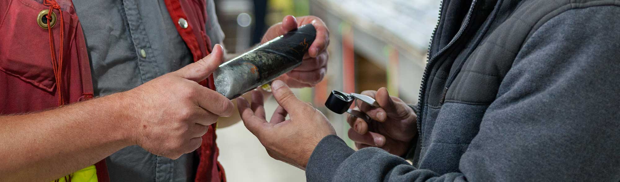
AMEX EXPLORATION IS A GOLD EXPLORATION MINING COMPANY IN CANADA, BACKED BY TOP MANAGEMENT WITH PROVEN EXPERTISE IN MINING, GEOLOGY & FINANCIAL MARKETS.
Amex at A Glance Presentation
FLAGSHIP PROPERTY IN QUEBEC, CANADA
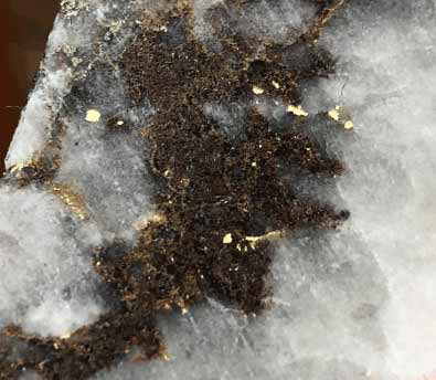 |
PerronAmex Exploration Inc. is a junior gold mining exploration company, the primary objective of which is to acquire, explore, and develop viable gold projects in the mining-friendly jurisdiction of Quebec. Amex Exploration Inc. has made significant gold discoveries on its 100% owned high-grade Perron Gold Project located ~110 kilometres north of Rouyn-Noranda, Quebec, consisting of 117 contiguous claims covering 4,560 hectares. The project is well-serviced by existing infrastructure, on a year-round road, 10 minutes from an airport and just outside the town of Normétal (~8 km). In addition, the project is in close proximity to a number of major gold producers’ milling operations. The project hosts both bulk tonnage and a high-grade gold style mineralization. Since January 2019, Amex has intersected significant gold mineralization in multiple gold zones and discovered copper-rich VMS zones. |
||
| View More | |||